Every Flemish farmer who receives ‘direct aid' within the framework of the European Common Agricultural Policy (CAP) is obliged to respect a number of climate and environmental principles and practices in order to ensure sustainable, viable and competitive agriculture. These include crop diversification, the maintenance of grassland and the creation of ecological focus areas.
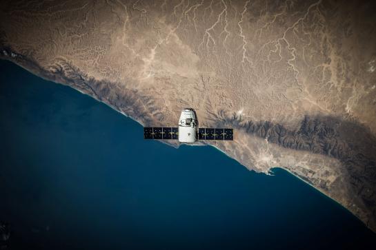
The Department of Agriculture and Fisheries monitors the correct and timely implementation of these policies. Currently this happens on the basis of spot checks in the field. High-resolution images from various satellites are able to map out the correct information faster. This allows better monitoring, guidance and control of farmers. Also crop damage caused by drought or flooding can be objectified more quickly.
The project was entitled CAPSAT: CAP stands for ‘Common Agricultural Policy' and SAT for ‘satellite'.
Here (tab voorbereiding) you can read the report (in Dutch) of the market consultation of the CAPSAT project.
They have now translated the results of the market consultation into a tender for the development of a smartphone app with geotagged photos and parcel recognition based on ‘augmented reality’. Join the workshop this Friday.
